
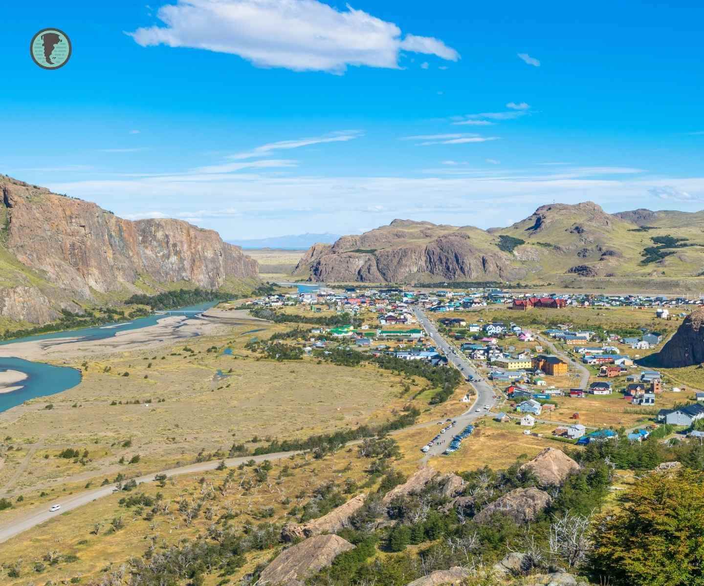
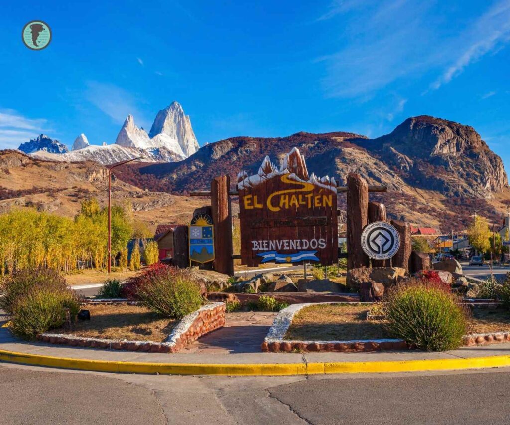
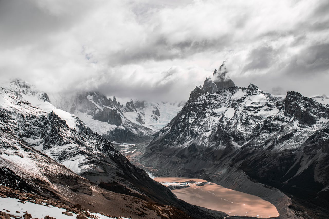
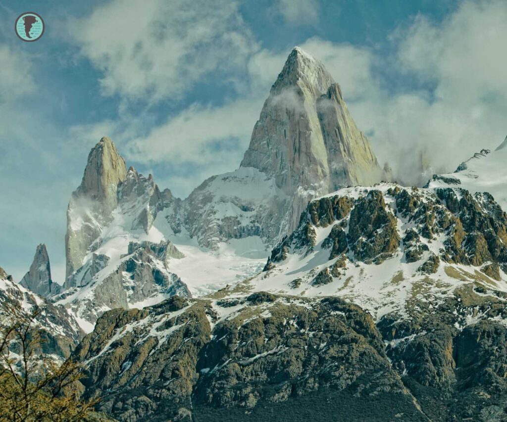
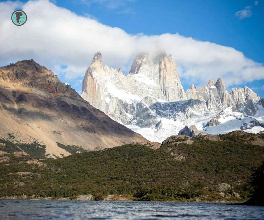
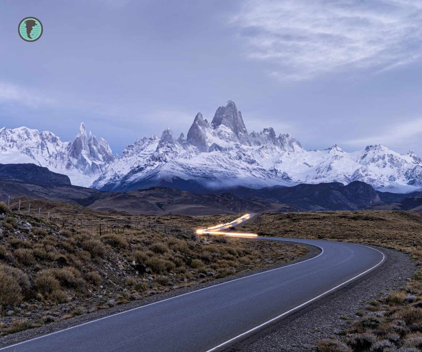
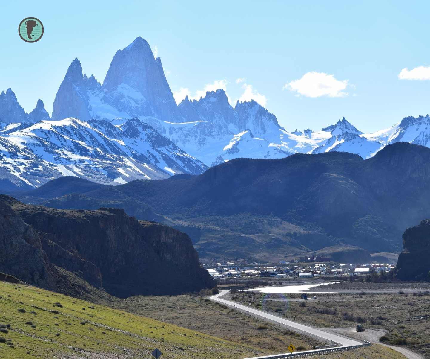
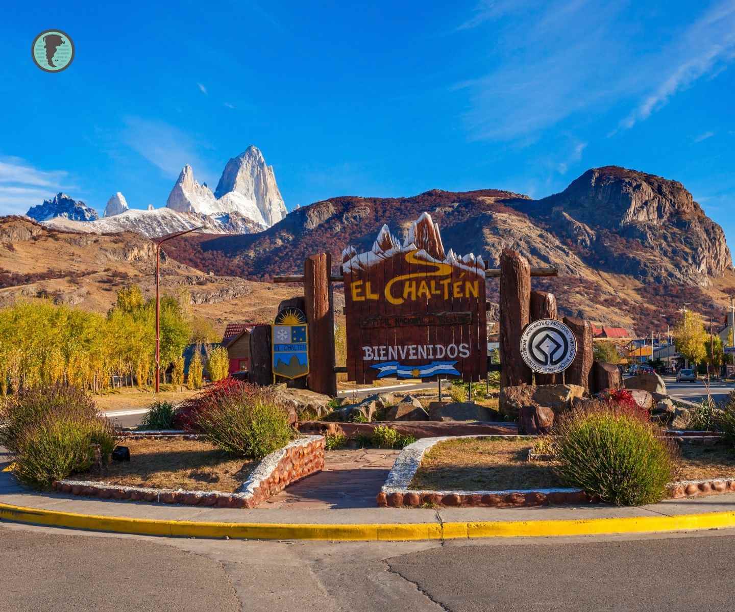
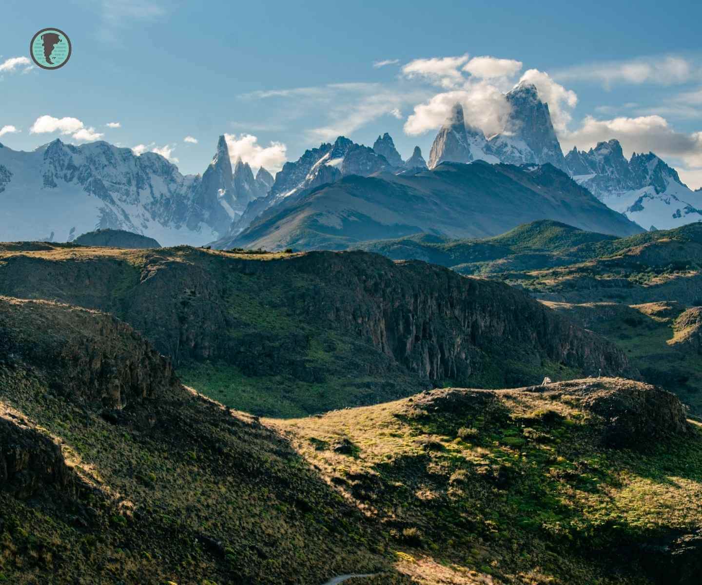
Located in the heart of Santa Cruz Province, El Chaltén rises where the Andes display their most iconic peaks.. Founded in 1985 as a border settlement, it is now an international hiking mecca, crowned by the iconic Mount Fitz Roy (3,405 m) and Cerro Torre (3,128 m). Its name in the Tehuelche language means “smoking mountain”, due to the clouds that frequently shroud its summits. Declared the “National Capital of Trekking” in 1994, this corner of the Los Glaciares National Park combines tourist infrastructure with unspoiled nature, offering one of the most authentic outdoor experiences in South America.
Geographic location and how to get there
El Chaltén is located 220 km northwest of El Calafate (gateway to the Perito Moreno Glacier) and 1,630 km from Río Gallegos, the capital of Santa Cruz. Its coordinates (49°19′S 72°53′W) place it in the buffer zone of the Los Glaciares National Park, a UNESCO World Heritage Site since 1981.
Transport options
- From El Calafate: 3 hours by bus (companies like Chalten Travel or Caltur operate the route). Fares from $15,000 ARS (2025).
- From Puerto Natales (Chile): Connection via El Calafate (7–8 hours total). No direct transport.
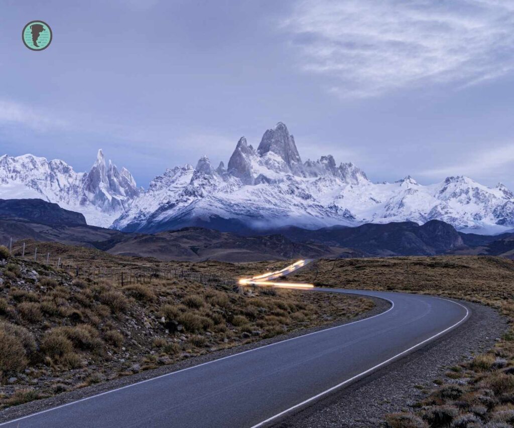
- By car: Provincial Route 23 (paved) from RN 40. Gas station available in town.
- By air: Nearest airport in El Calafate (FTE), with flights from Buenos Aires, Ushuaia, and Bariloche.
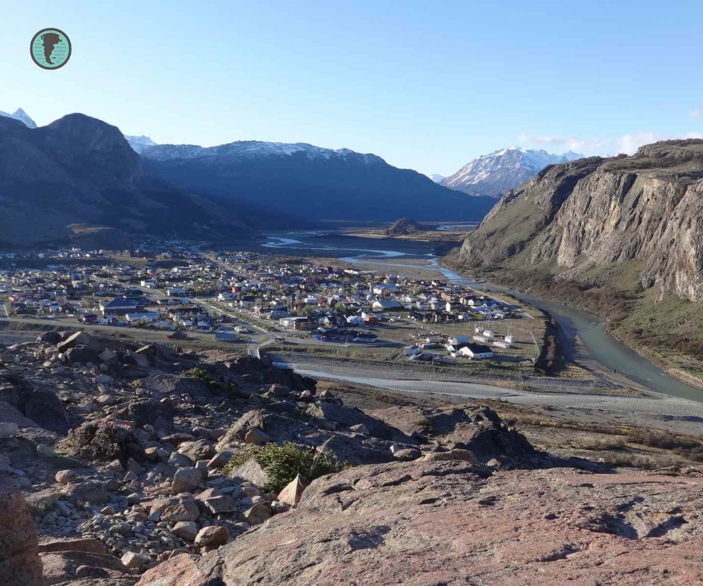
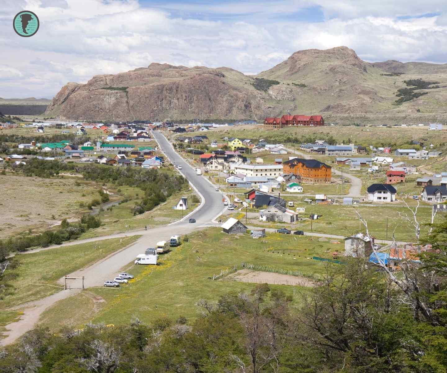
Did you know? El Chaltén was founded on October 12, 1985 to consolidate Argentina’s presence in the border area with Chile during the Beagle Channel conflict. Today it has about 1,500 permanent residents.


Must-see trails
El Chaltén’s trekking network offers over 200 km of marked trails, ranging from family walks to expert-level challenges. All begin in town and do not require a mandatory guide.
The 5 most popular routes
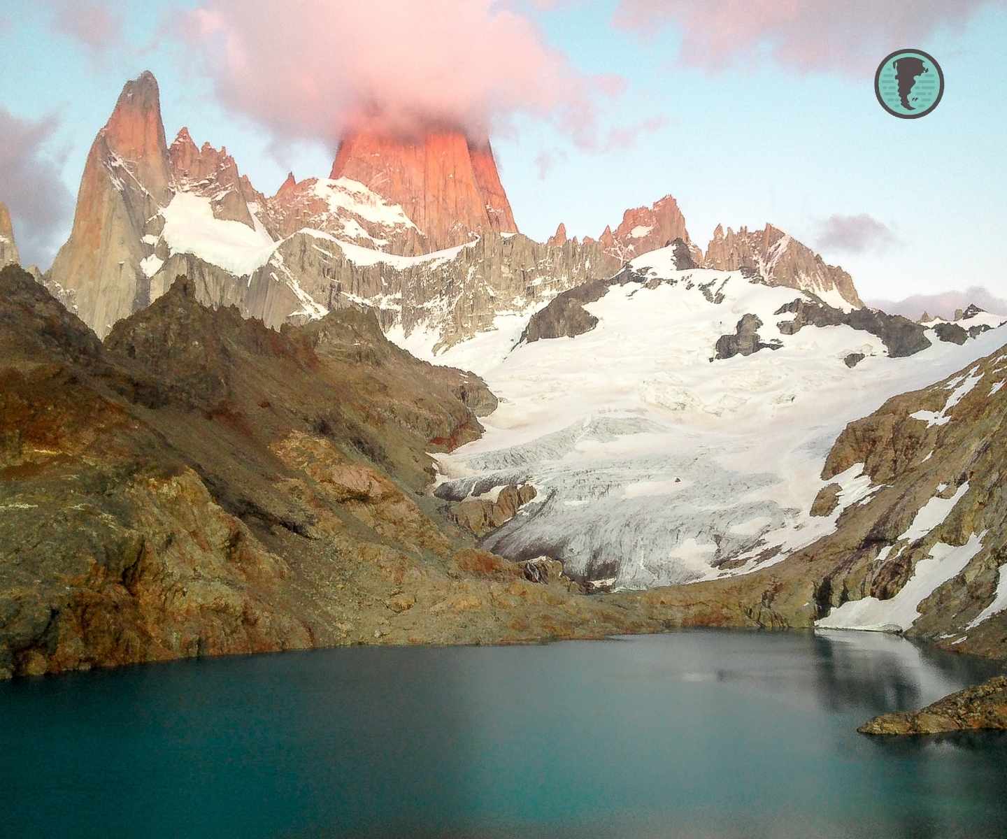
1. Laguna de los Tres (Fitz Roy)
- Difficulty: High
- Duration: 8–10 hours (20 km round trip)
- Maximum altitude: 1,200 m.a.s.l.
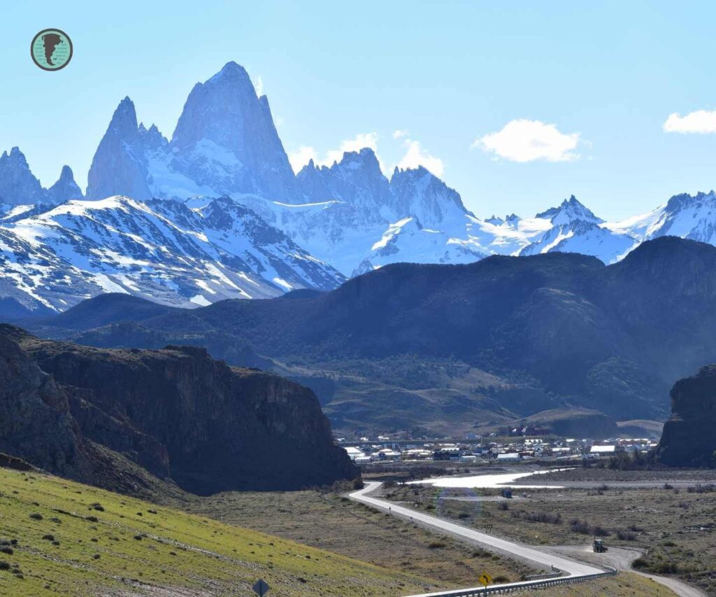
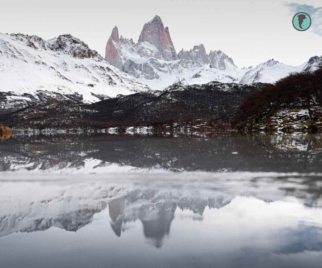
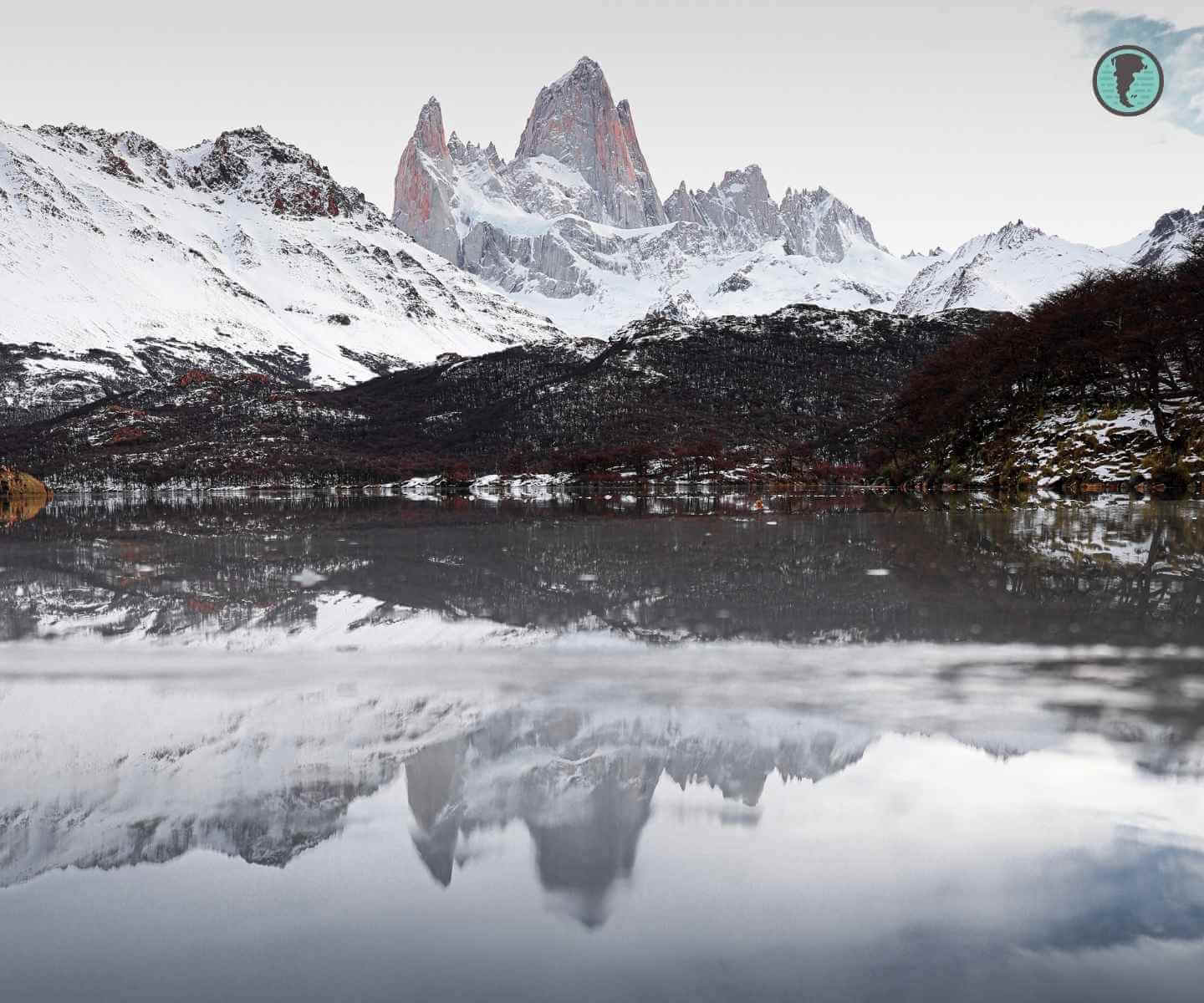
- Reward: Frontal view of Fitz Roy reflected in the lagoon
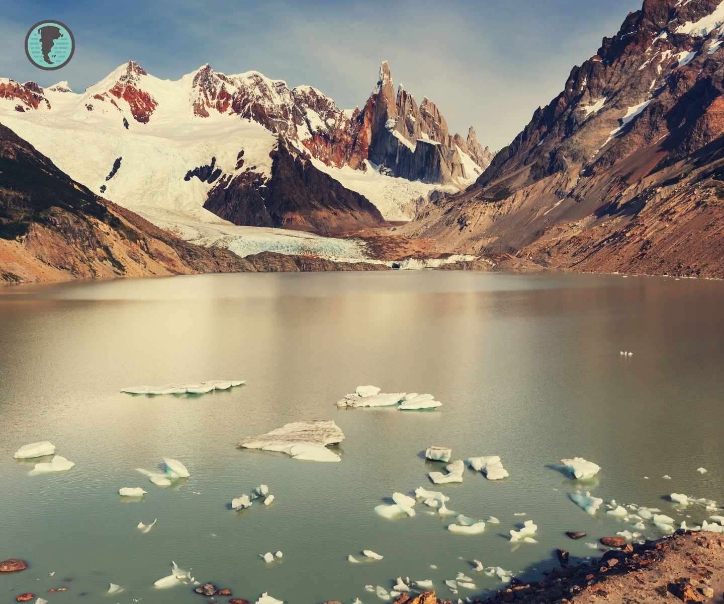
2. Laguna Torre (Cerro Torre)
- Difficulty: Medium
- Duration: 6–8 hours (18 km)
- Highlight: Torre Glacier and floating icebergs
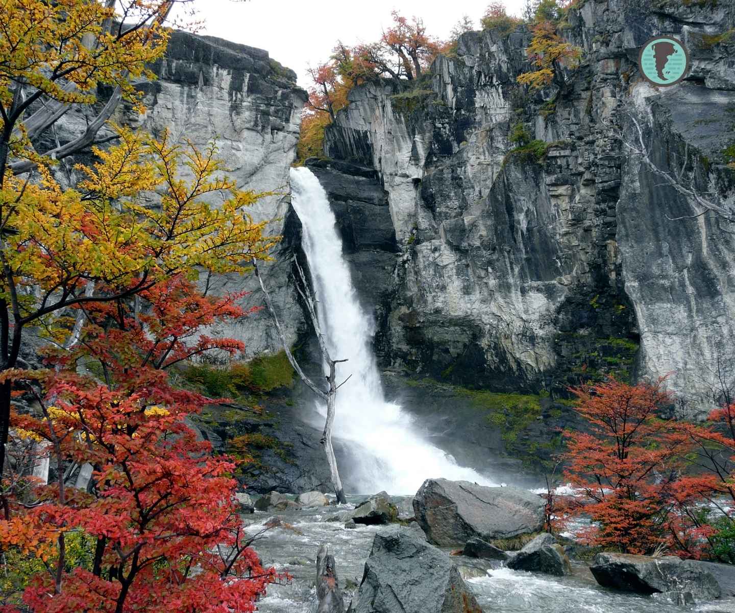
3. Chorillo del Salto
- Difficulty: Low
- Duration: 2 hours (4 km)
- Ideal for: Families and sunsets
4. Loma del Pliegue Tumbado
- Difficulty: High
- Duration: 8–9 hours (20 km round trip)
- Elevation gain: Approx. 1,100 meters
- Maximum altitude: 1,500 m.a.s.l.
- Reward: 360° panoramic view of Fitz Roy, Cerro Torre, Viedma Glacier, and Lake Viedma
- Recommended for: Experienced hikers seeking spectacular photographic views
5. Huella Andina (Chaltén section)
- Difficulty: Medium
- Duration: Varies by section (2 to 7 hours per stage)
- Total length: Over 500 km (the Chaltén section crosses part of Los Glaciares National Park)
- Description: Long-distance trail connecting Villa Pehuenia with El Chaltén, traversing three national parks: Lanín, Nahuel Huapi, and Los Glaciares
- Recommended for: Walkers seeking to explore Patagonia in stages, with direct contact with communities and shelters
- Additional fact: It was the first officially approved long-distance trail in Argentina
Recommended gear
- Waterproof trekking shoes
- Thermal clothing layers (weather changes abruptly)
- Telescopic trekking poles
- SPF 50+ sunscreen (ozone hole affects this area)
- Backpack with water and energy snacks
👉 Want to know how to layer your clothing and choose the right gear for Patagonian weather? Visit our complete guide to outdoor clothing in Patagonia.
Accommodation and gastronomy
El Chaltén offers everything from budget hostels to luxury lodges, all under strict environmental regulations. Its gastronomy fuses Patagonian tradition with signature cuisine.
Types of accommodation
- Hostels: Such as Rancho Grande or El Puma, from USD 25 per night.
- 3–4 star hotels: Los Cerros Boutique, Destino Sur, from USD 120 per night.
- Glamping: Chaltén Camp, domes with mountain views, from USD 180 per night.
- Mountain refuges: Poincenot and Agostini, for multi-day trekking.
Note: Prices are expressed in US dollars (USD) and are approximate, subject to change depending on the season and availability.
Housing challenges for local workers
While El Chaltén has a wide range of tourist accommodations, there is a marked shortage of housing for local workers. Growing tourist demand has led many employees to live in precarious conditions, such as trailers or tents, due to a lack of affordable housing options. This situation has been officially recognized, and in March 2025, the El Chaltén Town Council approved an ordinance suspending for one year the issuance of new permits for hotel and restaurant establishments, aiming to address the housing crisis and the saturation of basic services.
Key fact: In peak season (December to February), lodging demand is high and often sells out months in advance. Booking 3–6 months ahead is recommended.
Climate and best time to visit
The subantarctic climate of El Chaltén has average temperatures of 5°C in winter and 15°C in summer, with winds that can exceed 100 km/h. The trekking season runs from October to April.
Annual calendar
- January–February: High season
- March–April: Fewer crowds, autumn colors, and better weather
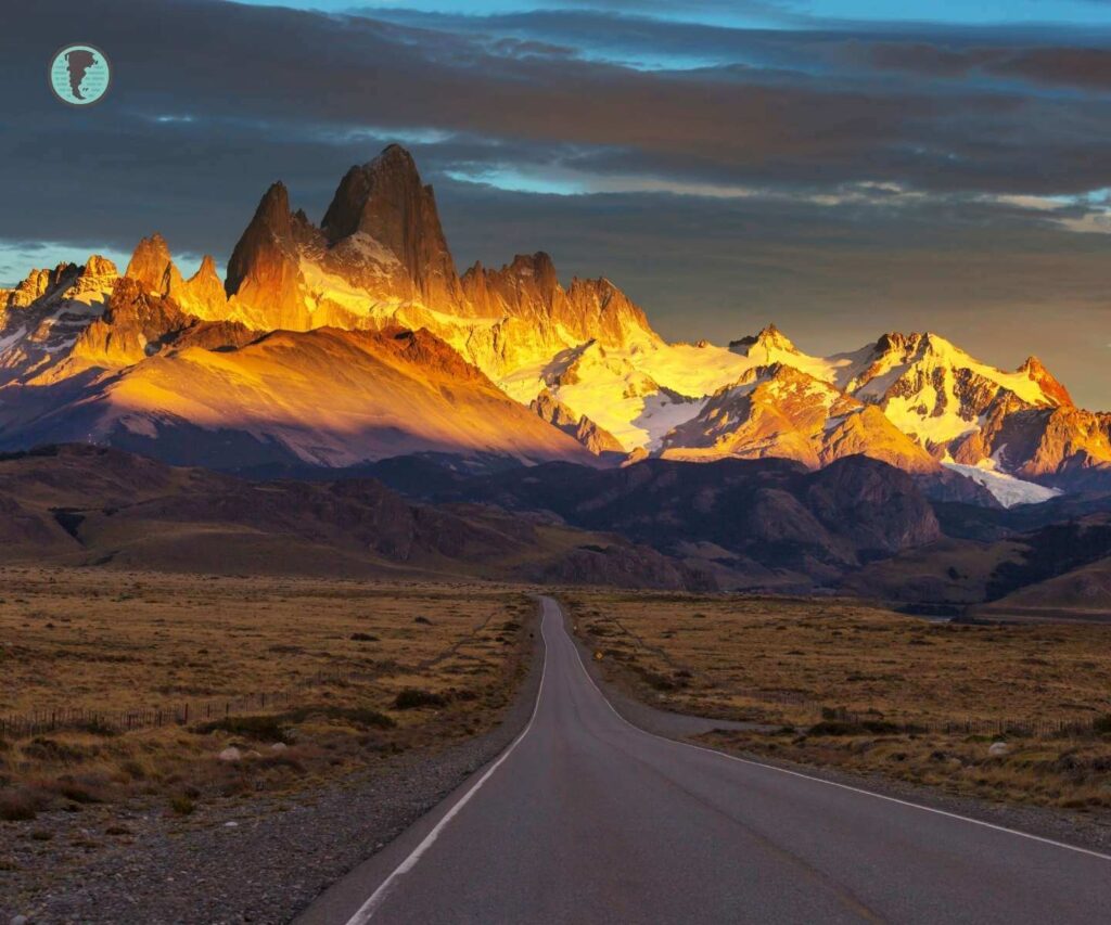
- May–September: Many services closed, ideal for photographers
- October–December: Blooming season, unpredictable weather
Fun facts
- Fitz Roy was named after the captain of the HMS Beagle, Robert FitzRoy, who explored the region in the 19th century.
- The first ascent of Fitz Roy was made in 1952 by French climbers Lionel Terray and Guido Magnone.
- The name “Chaltén” comes from the Aonikenk language (also known as Tehuelche) and means “smoking mountain”, due to the clouds often covering its summit.
- The town of El Chaltén restricts the installation of advertising signs to preserve views of the natural landscape.
Conclusion
El Chaltén embodies the essence of southern Patagonia: epic landscapes, adventurous spirit, and deep connection with nature. More than a destination, it’s a transformative experience where every trail tells a 150-million-year geological story. Whether you’re seeking physical challenges, iconic photographs, or simply an escape from civilization, this corner of Santa Cruz offers an authenticity few places preserve in the 21st century.

Frequently asked questions about El Chaltén
How many days are needed to visit El Chaltén?
Can you camp for free in El Chaltén?
No. The urban campground El Relincho charges approximately USD 10–15 per person per night. Inside the Los Glaciares National Park, rustic campsites such as Poincenot, Laguna Capri, and De Agostini also require prior reservation and payment starting in October 2024. Reservations can be made through the Friends of Los Glaciares National Park website.