
The Strait of Magellan is one of the most important natural passages on the planet. Located at the southern tip of Patagonia, it connects the Atlantic and Pacific Oceans and marked a turning point in the history of world exploration. Its discovery changed the world map, opened new navigation routes, and defined the geographic identity of the end of the American continent.
Location and Characteristics
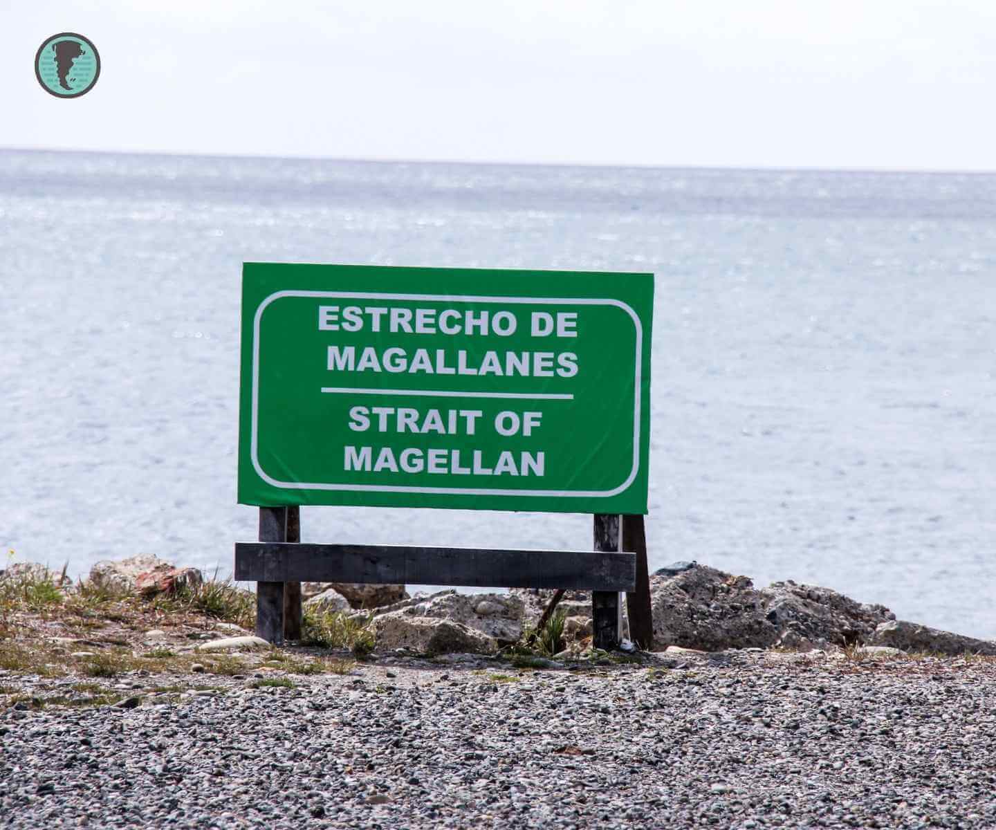
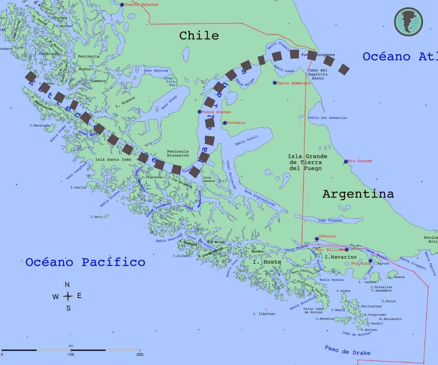
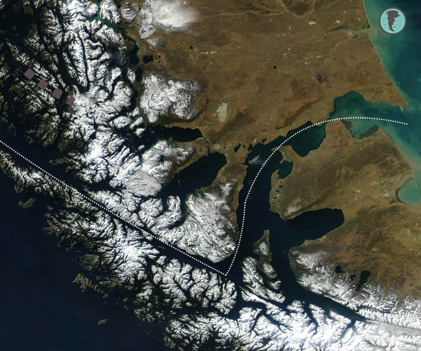
The Strait of Magellan is located at the southernmost tip of South America, separating the continent from the Isla Grande de Tierra del Fuego. Its length is approximately 560 kilometers, and its waters form a natural channel that winds between fjords, islands, and glaciers. It is considered the safest natural passage between the two oceans, in contrast to the dangerous Drake Passage.
Today it belongs primarily to Chilean territory, with the city of Punta Arenas as a strategic point on its northern shore. From there, tourist boats and barges depart to cross the strait, connecting with Tierra del Fuego.
Discovery of the Strait of Magellan
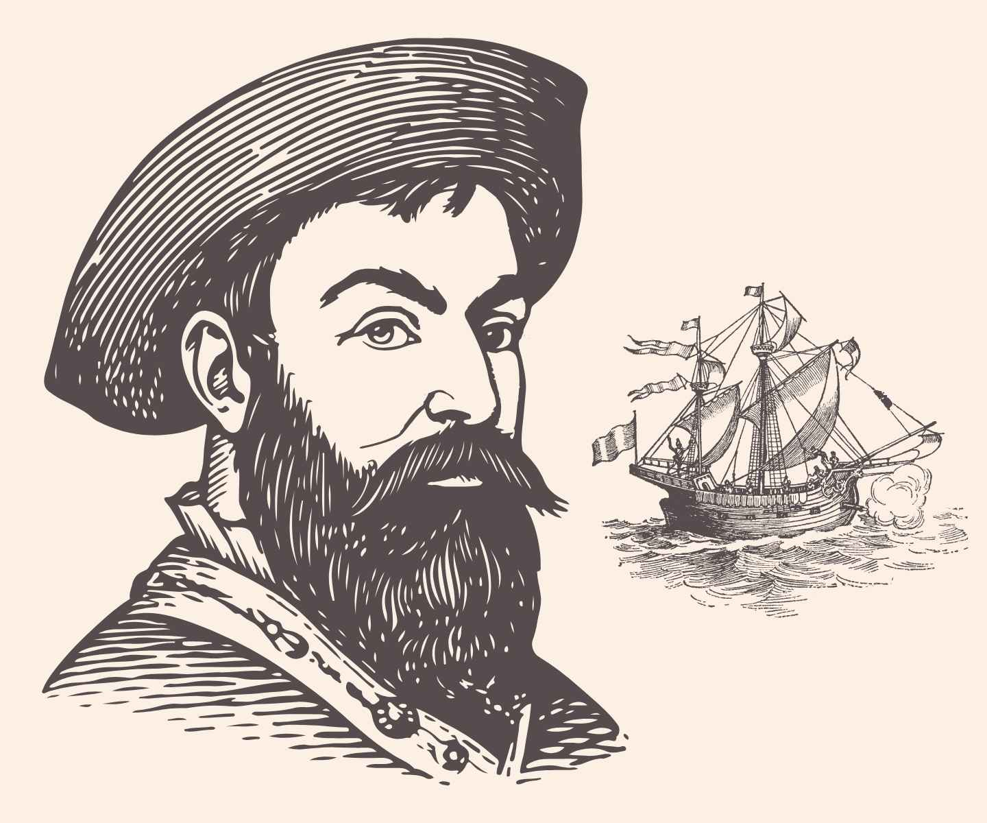
The strait was discovered on October 21, 1520 by the expedition of the Portuguese navigator Ferdinand Magellan, in the service of the Spanish Crown. His fleet, composed of five ships—Trinidad, San Antonio, Concepción, Victoria, and Santiago—set sail from Seville in search of a route to the Spice Islands. After months of uncertainty and mutinies, Magellan found the natural passage connecting both oceans.
Fun fact: Magellan named the passage the Strait of All Saints, although it was later renamed in his honor. The ship Victoria was the only one to complete the first circumnavigation of the world.
Historical and Geopolitical Importance
For centuries, the Strait of Magellan was the only maritime connection between the Atlantic and the Pacific. Before the opening of the Panama Canal in 1914, it was a key route for international trade and for whaling ships sailing to the South Pacific.
In the history of Patagonia, the strait represented a meeting point for cultures, explorers, and religious missions. It was also the scene of conflicts over control of the passage, especially during the Chilean expansion southward in the 19th century.
Life and Navigation in Southern Patagonia
Navigation through the Strait of Magellan is complex: strong currents, persistent winds, and low temperatures make this passage a challenge even for modern sailors. Its shores are home to colonies of Magellanic penguins, sea lions, and migratory birds, forming a unique ecosystem of southern Patagonia.
The Strait of Magellan barges now transport vehicles and tourists from Punta Arenas to Porvenir, keeping the historical connection between both shores alive. For many travelers, crossing the strait is a symbolic experience: the final step before reaching the end of the world.
Timeline
- 1520: Ferdinand Magellan discovers the strait.
- 1584: Foundation of the first Spanish settlement: Rey Don Felipe (failed shortly after).
- 1843: Chile officially takes possession of the territory and founds Fuerte Bulnes.
- 1848: Foundation of Punta Arenas as a permanent base.
- 1914: Opening of the Panama Canal reduces its commercial importance.
- Present Day: Strategic and tourist site of southern Chile, with high historical value.
The Strait of Magellan Today
In the 21st century, the Strait of Magellan remains one of the most iconic maritime routes on the planet. Its natural environment, legends, and history of exploration make it an unmissable destination for those visiting Chilean Patagonia. Furthermore, its ecosystem and extreme weather conditions keep it as a natural laboratory for scientific studies on climate change and marine biodiversity.
Today it is possible to travel parts of the strait on maritime or land excursions, visit the historic Fuerte Bulnes and the Nao Victoria Museum, where a replica of the original ship commemorates that expedition which united the seas.
Conclusion
The Strait of Magellan not only represents a feat of navigation but also a symbol of the exploratory spirit that characterizes Patagonia. Its history combines adventure, science, and survival in one of the most imposing landscapes on the planet. To know it is to understand how the end of the world marked the beginning of a new era for humanity.
Frequently Asked Questions
Where is the Strait of Magellan located?
It is located in the far south of Chile, separating the American continent from the Isla Grande de Tierra del Fuego.
Who discovered the Strait of Magellan?
It was discovered in 1520 by Ferdinand Magellan during his expedition to find a route to Asia.
Why is the Strait of Magellan important?
Because it was the first known connection between the Atlantic and Pacific Oceans, key for world navigation.
What animals live in the Strait of Magellan?
Its coasts are home to Magellanic penguins, sea lions, southern dolphins, and numerous migratory birds.
Can you cross the Strait of Magellan?
Yes, there are barges and ferries that connect Punta Arenas with Tierra del Fuego, allowing travelers and locals to cross daily.